
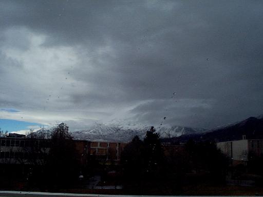
Most of the day the sky had been overcast with stratus clouds. At about 2:15 PM a noticeable line of clouds extending below the existing cloud deck was seen moving eastward across the face of Mt. Timpanogos. At about 2:33 PM the temperature dropped several degrees, the humidity rose rapidly, the wind abruptly shifted from southerly to westnorthwest and a light rain began to fall. The pressure had been slowly dropping most of the day. As the front passed there was a spike in the pressure that lasted about 30 minutes followed by a short rise in the pressure before it began falling again due to the second cold front that was still approaching. There was a short snow squall at about 3:08 PM. Around 3:10 PM (near the end of the spike in the atmospheric pressure) the wind shifted to easterly with continued light rain. By 3:25 PM the winds were relatively calm and the skies were clearing in the west.
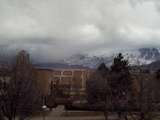
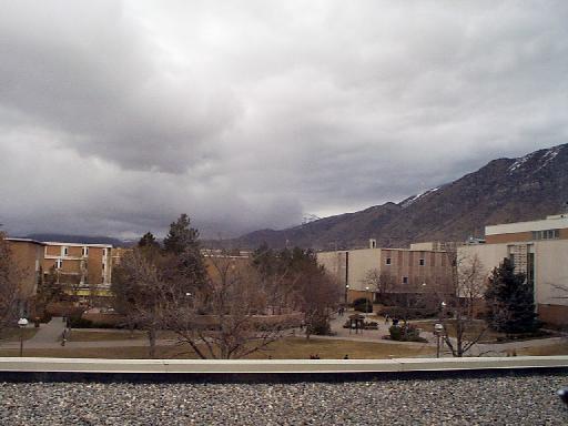
The following pictures illustrate the progression of the storm.
 |
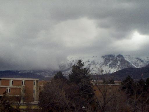 |
| about 2:20 PM | about 2:25 PM |
 |
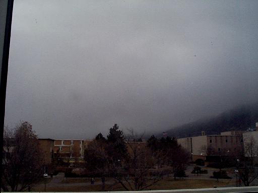 |
| about 2:30 PM | about 2:45 PM |
 | |
| 3:38 PM |
Return to Weather Events Page.
Return to BYU ESC Weather Home Page.
Contact the BYU ESC weather station manager with questions or comments about this page.
© 2024. Brigham Young University. All rights reserved.